Carbon Projects,
Measured in Real Time
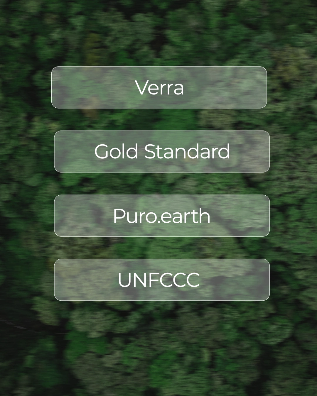
Econetix connects carbon project to ground sensors, drones and satellite data, structured by the methodology it is registered under. See real climate impact as it happens – aligned with Gold Standard, Verra and Article 6.
How It Works
From Methodology
to Live Dashboard
Most projects are verified once a year, from old data. We monitor continuously, so every claim is something you can show.
Built Around Your Methodology
Different methodology? If it defines what to measure, we can monitor it.
ARR
Ground sensors plus satellite imagery measure how biomass is actually developing under real climate conditions.
Mangroves
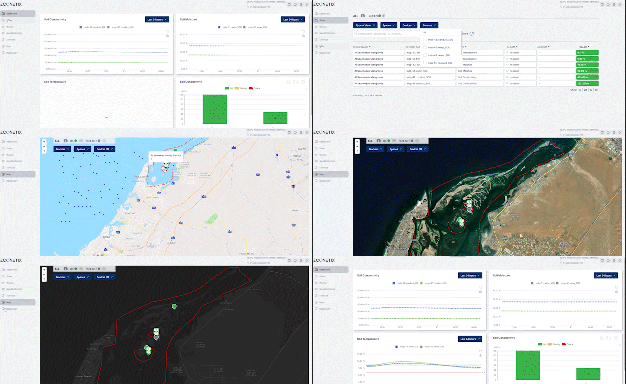
Soil and water sensors track site conditions, satellite data tracks canopy growth. Survival and carbon storage, verified.
Solar Home Systems
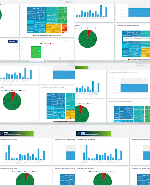
Every unit tracked from deployment. Usage data becomes verified avoided emissions from displaced kerosene and diesel.
Better Data Sells Better Credits
Sell at higher prices
Buyers pay more for projects they can see working.
Sell at higher prices
Buyers pay more for projects they can see working.
Sell at higher prices
Buyers pay more for projects they can see working.
Sell at higher prices
Buyers pay more for projects they can see working.
Powerful Tools for
Real-Time Climate Intelligence
Your Climate Control Center
All your projects, data streams, and impact metrics in one
intuitive view designed for speed, clarity, and confidence.
From Data to Decisions
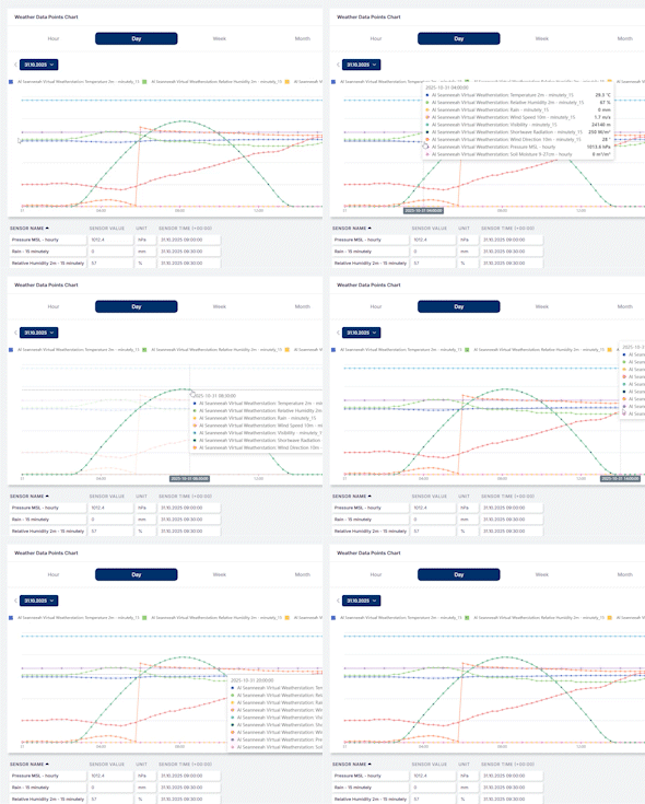
Interactive charts, live maps, and AI visuals show what’s changing and turning complex data into actionable insight.
See the Change in Real Time
Access on-ground cameras and high-resolution satellite imagery to validate progress, spot anomalies, and ensure full visibility.
Data You Can Trust,
Reporting You Can Verify
Econetix dMRV encrypts every data stream, maintains full audit trails, and aligns with leading carbon registries for consistent, verifiable reporting.
Get Your Free Demo